- Home
- United States
- Amelia Island
- Cruising areas
- Nature trail, beach access
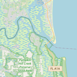
Cruising area · Fernandina beach One of 2 cruising areas in Amelia Island 1 of 2 in Amelia Island
Nature trail, beach access
1commentLong wooded trail that leads to a secluded beach with alot of dead drift wood for plenty of cover.
- Best time
- Any time during the day usually during the warmer months.
- Watch out
- Just watch out for families.
- Last verified
- Not yet · updated 2008
unknown/no adress, Amelia Island Wheelchair: No / No, there are steep steps leading down to the beach
What changed?
The guide
Where exactly
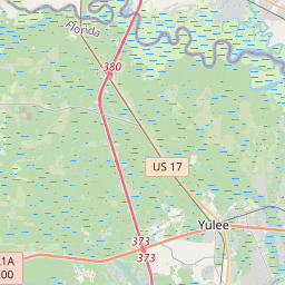
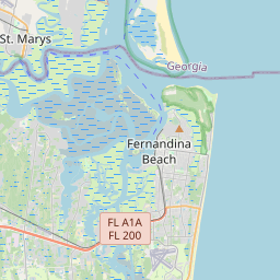
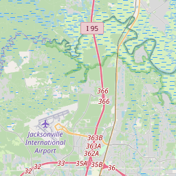
From I-95 head east on A1A to Amelia Island. After crossing the Thomas J. Shave Bridge, turn right at the first traffic light. Follow the American Beach sign to Lewis Street, east of First Coast Highway. near Osprey Village, continue past american beach/burney park for about 3 miles and on the left hand side of the road there is a little clearing with parking on the shoulder and a gate. park outside the gate on the shoulder of the road and walk in.
When to go
Any time during the day usually during the warmer months.
Sunset today · Sunrise tomorrow
Etiquette
Just be careful, there are families that do come down on occasion just use common sense.
Nudity: If you walk down on the beach and go right or left there is plenty of cover for nude sunbathing.
Safety
Just watch out for families.
Report an incident →
Comments
1 comment · last one
Visitor ·
Certainly not sure where these directions lead. Lewis Street ends on the Beach in the American Beach area. Burney Road is off of A1A and is where Osprey Village is located, but the road ends just past the entrance to Burney Park. I think the lister might be referring to Big Talbot Island Park which is just across Nassau Sound off the southern end of Amelia Island. You continue on A1A off Amelia Island and then turn left about .5 mile after crossing the the George Crady bridge. There is a $2 state park entrance fee. Trail through the woods to get to the beach. About .5 miles past the main entrance to Big Talbot, there is the Black Rock trail. Park on the east side of the road and follow the service road .3 miles to the beach. Used by locals due to the calm water; but action can be had on the southern end of the park as it heads to Simpson Creek. Watch out for DEP as they patrol the parks fairly closely; although the erorsion on the trailhead no longer allows them to bring their ATV down onto the Black Rock section of Big Talbot.
Report