- Home
- Canada
- Bracebridge
- Cruising areas
- Bracebridge Resource Management
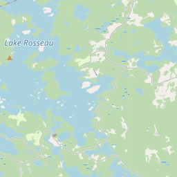
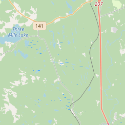
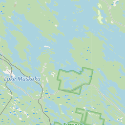
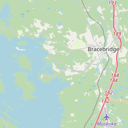
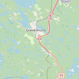
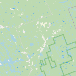
Cruising area One of 4 cruising areas in Bracebridge 1 of 4 in Bracebridge
Bracebridge Resource Management
8commentscruiser update 4/1/2008: the shack is now gone and has been for a couple of years...still lots of action on the trails and down by the river !! Nature park with kms. of trails. In winter, x-country skiing. Lots of trees. Long laneway provides ample warning of other vehicles. Enough area and warning to easily avoid exposing yourself to non-participants, there's lots of action between here and High Falls Park.
- Best time
- Any daylight hours.
- Crowd
- Locals and travellers from many areas.
- Last verified
- Not yet · updated 2009
Wheelchair: Not accessible
What changed?
The guide
Where exactly
North on hwy 11, go past hwy 117, northbound on 11, over big steel bridge, continue north on hwy 11 uphill, veers right, go about 1 km and watch for blue Ontario sign saying "Bracebridge Resource Management Centre" ( or maybe Nordic Trails) and turn right. go in to parking lot.
When to go
Any daylight hours. Best times: Summer's busy weekends and evenings or lunch hours. Winter? Dates open: Any daylight hours.
Comments
8 comments · last one · ·
Visitor ·
on my way there now, looking to play will be there around 515
Report
Visitor ·
looking to play today, will be there around 4:30
Report
Visitor ·
new glory-hole at the washroom where the sugar shack burned down. if you park in lot leave white tissue in window so others know you went there.
Report
Visitor ·
In the area for most of the Summer. When is a good time to go? Looking for 20-45, safe and discreet. Cheers.
Report
Visitor ·
Hey guys ? Anyone wanna meet up there would love to check it out let me know ? Don't appear to be any recent posts are guys always heading there ?
Report
Visitor ·
change of plans will be there on Thursday June 26 early morning - 9:00-11;00
Report
Visitor ·
will be driving stopping on Friday June 28 in the mid morning till about 11 would love to meet up with some hot tall man -- and have some fun
Report
Visitor ·
Hey guys. Pass through at least twice a week. 28/155lb vers. Lookin to hookup. It's been a long winter!
Report